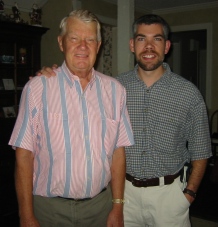
The story of Mt. Isolation, August, 2004
As you all may be aware, my Dad has now collected his final official New Hampshire 4,000 foot mountain and is eligible to join the four thousand footer club. Some would argue that the achievement isn't "pure" as not all of the mountains were gathered on individual hikes, but let us not quibble. All peaks were ascended on foot at least once.
The Build Up
In the summer of 2003, Bill Ruhsam, Sr., along with Daughters Becky Chapman and Cindy Ruhsam ascended Mt.ís Twin, North Twin and Galehead. That same summer, arrangements were made for The Ruhsams Bill to ascend the final peak, Isolation, in the summer of 2004.Traveling to the Site
The Journey started smoothly with an uneventful flight from Birmingham to Manchester via Baltimore-Washington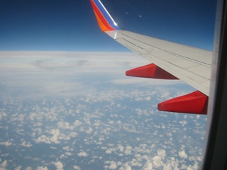 International (tickets supplied by Becky & Mark Chapman). It was too cloudy to see Washington D.C. on the descent, but the pilot made up for it by bouncing us a few times on the runway. We had a lovely view of Mt. Monadnock as we approached MHT, but Bill Jr. was too slow off the mark to get a picture of it.
Dad and Bill Jr. (hereafter referred to as DAB) proceeded from the airport in their rented Chevy Classic (white), a wonderfully wimpy car, to acquire several things on the shopping list, namely fuel for the camp stove and additional supplies of bottled water for the hike. After carefully considering the dehydrated food requirements, time, distance, and carrying capacity, it was decided that two gallons would be sufficient.
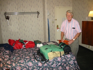
Note for those unfamiliar with Manchester, NH, and the Ruhsam family history in it: This particular Ramada exists probably one mile from where the Ruhsam family spent a good portion of it's time in residence. In other words, Bill Jr. should have known better.
DAB checked into room 122 and spent thirty minutes or so determining who was carrying what then repacked the packs for the next day's trip up to the mountain. During this time, certain important lessons were learned: 1) Read the instructions when trying to replace the cartridge on the water filter. This will save skin when trying to unscrew something that doesn't. 2) Check your pack before leaving home. Bill Jr's backpack had a broken hip-strap buckle, which would have spelled Almost Certain Doom for the trip if discovered at the trailhead. Therefore DAB's first detour from the trip schedule was to the local Eastern Mountain Sports to acquire a new hipstrap buckle. Dinner was at Jillians on Commercial Street and then to bed back at the Ramada after watching some Olympic events.
[later]
RING! RING! RING!
Bill Jr. rolled over in his bed wondering who was calling as anyone who really wanted to get in touch would be calling his cell phone.
"Hello?" was Bill Jr's sleepy query.
"Hi there," came the answer. "How are you?"
"Fine." Bill Jr. was racking his brain to figure out who this person was. The voice was not familiar.
"Are you having a good time?"
"Yes..." This question and answer session wasn't enlightening Bill Jr. yet. "Who is this?"
"Lisa."
"Do I know you?"
A pause, then...
"Are you horny? I'm horny."
Light dawned over Bill Jr's sleepy brain. "I'm hanging up now, good night." [click]
Dad looked over and asked who that was. Bill Jr explained that it was someone soliciting sex-for-profit.
RING! RING!
"Hello?"
"Don't you want to have fun?"
"No thanks, good night again." [click]
About ten seconds later the phone in the room next door to theirs began to ring. It rang six times and then quit.
Lisa was an obviously experienced entrepreneur in the entertainment business. She was either A) in the hotel dialing room numbers or B) in cahoots with the hotel switchboard operator. You make the call!
(Now, in all fairness, Bill Jr. must mention that he has no direct, firm evidence that the Cold-Calling-Call-Girl was actually a true dyed-in-the-wool prostitute. He didn't get around to discussing rates. It may have been a crank call. But, the phone ringing next door tends to disenchant him of that option)
That being all of the excitement of the evening (it was 11:30 EST) everybody went back to sleep.
Morning dawned bright and sunny. The weather projections for the next two days were partly cloudy with highs in the low eighties. Humidity would be high, but not for what DAB was used to living in the southeastern U.S. DAB packed up, checked out, and drove north, looking for someplace to eat breakfast.
After much head-wracking and wandering through Concord, NH, a Friendly's was spotted and breakfast was procured. At 9:00ish, DAB again got into the car, heading north, not worrying about what time they would get to the trailhead as there was no time pressure. That was a phrase uttered several times that morning, from wakeup call to trailhead arrival.
Roads traveled were I-93 to Ashland, exit 24(?). East on US 3 into Holderness, then east on NH 113 around the north side of Squam Lake (site of On Golden Pond) to east NH 25 to north NH 16 into gloriously traffic-congested Conway, west on the Kancamangus Highway (NH 112), to north on Bear Notch Road (closed in winter) to west on US 302 to the Davis Path trailhead.
Round about in the trip, Bill Jr remembered that he had left his digital camera backup battery charging in its charger, plugged into the wall at the Ramada. A hasty phone call to the front desk left some hope that he'd get it back when they returned on Saturday night. This however now put Bill Jr into battery conservation mode which meant no flash photography and no taking pictures of everything in sight.
The Ascent
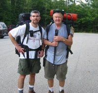
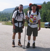 DAB arrived at the trailhead around 11:15, not worrying because there was no time pressure. They laced up, locked the car, took the before picture, and started walking.
Previous to the trip, Bill Jr., who was the only one of the two to have hiked in the general vicinity of Isolation, had assumed that they would head into the mountain by way of the Rocky Branch Trail, Isolation Trail, and Davis Path, after dropping the packs somewhere at the bottom of the Isolation trail. Dad had suggested a change in itinerary being an ascent along the Davis path, over several ridge mountains, and a return along same, as the views would be better. Bill Jr. agreed that the views indeed had to be better as there wasn't squat along the Rocky Branch/Isolation approach and thus the trail was determined. The plan was this: traverse the Davis path to a location between Stairs Mountain and Mt. Davis, drop the packs, travel the rest of the way to Mt. Isolation, then back to the campsite. Day two, travel back out to the Davis Path trailhead, gathering any peaks (Stairs, Resolution, Crawford) that seemed to be warranted by tiredness, viewing conditions, etc.
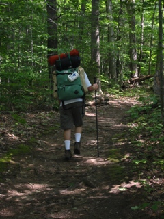
The first real landmark on the Davis path was 200 yards from the trailhead, the new Bemis Bridge, build sometime after 1999, a fine example of a cable-stayed bridge, replacing the old suspension bridge. For more details see http://oak.arch.utas.edu.au/projects/view_projectinfo.asp?projID=574
DAB walked along an easy path for about 0.3 miles then began an ascent up to the top of the Montalban ridgeline that was to define the entire hike.
It was 2.2 miles from the trailhead to the spur path leading off to Mt. Crawford. Three and a half hours later, the sweating, sagging duo looked at the sign pointing left up the spur path and didn't even give it a glimmer of consideration. It was now three o'clock. Sunset, according to the handy-dandy GPS unit, was at 8:30. Mt. Isolation was 7.5 miles away, over hill and saddle. Previous travel plan was ripped up and thrown out. Now they wanted to get to the same camping location (somewhere between Stairs and Davis), plop down for the night, get Isolation the next day, and head back out the Davis path.
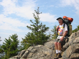
Thankfully, after much trudging through muddy pockets, DAB came upon a small pool of relatively clear water which was suited toward refilling the empty bottles. DAB sucked down about a quart each at this stop, before heading on. This contributed toward one of the Lessons Learned.
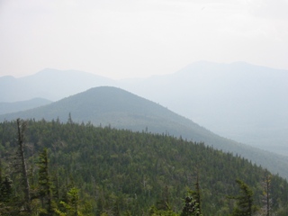
Some time after the water stop, when the average headway speed on the ridgeline was guessed at approximately one mile per hour, the secondary hike plan was torn up and a tertiary one put into place. DAB would proceed as far as possible before the light began to fail, then camp wherever was convenient. This potential camping spot was still pegged about halfway between Stairs and Davis, but the possibility of an early halt was acknowledged. DAB had come to the decision that descending the Davis path the way they had come up was a Bad Idea given that the rocky, steep, death-defying climb down would come at the end of a very long day, leading to potential things such as bruises, scrapes, falls, sudden death, etc. The tertiary plan now designated the exit trail to be the aforementioned Isolation/Rocky Branch trail which looked on the map, and in the book, much easier, plus that placed all of the steeply descending portions closer to the mountain, which would enable DAB to tackle them while still relatively fresh.
About five miles from the trailhead, around 6:00 PM, DAB ran into a hiker who was coming the other way (south). This hiker indicated that he had spent the day doing trailwork but had spent a considerable time "off trail". He was wearing kick-butt no-nonsense won't-tear-without-plasma-cutting-tools pants that were filthy to the knee, so it seemed he had spent some time kicking through the underbrush. DAB queried him on any campsites that he knew of down the path. He said he had passed a good one about a half mile back (north) but that he hadn't been on the trail for a while.
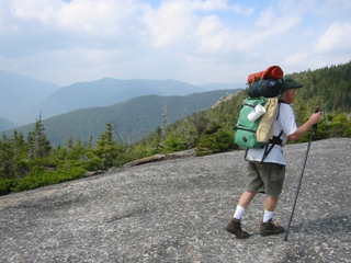
DAB proceeded on, found the mentioned campsite (it was very inviting) but decided to press on while daylight lasted as the trip was now a one-way traverse and every mile made was a mile that didn't have to be traveled the next day.
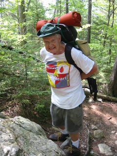
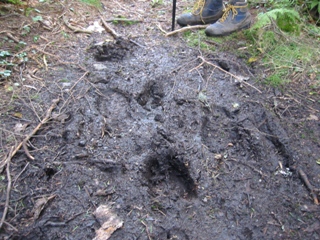
DAB set up the tent, ate dinner from the prepackaged food sent by Cindy Ruhsam for the occasion, observed the moose droppings in the middle of the trail, wondered if they would get a visit that evening, and collapsed into slumber.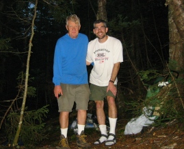
Day Two
DAB had agreed that 6:00 AM was a good wake-up time, the intention being to eat and get on the trail as fast as possible in order to use all available daylight. 5:45 AM rolled around and everybody was awake, so up they got. Bill Jr. prepared breakfast (more prepackaged food) and they cleaned up, packed away, and moved out. The departure time from the campsite was 6:55.
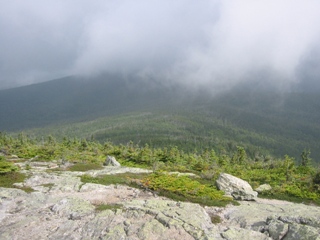
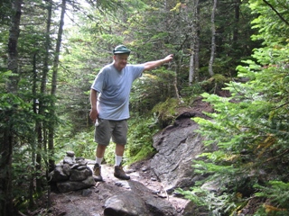
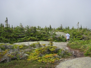
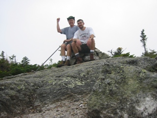
Views were still mostly obscured by the blowing clouds at their height, and only the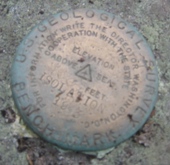
The Descent
DAB proceeded north on the Davis path to intersect with the East Isolation Trail. The journey down the saddle slope to the intersection was uneventful and pleasant. A rest break at the intersection allowed them a chance to chat with a hiker who had ascended the Glen Boulder trail and was going to climb Isolation. DAB queried him on how he, personally, would get back to his car if he had come out at a location (say) 25 road miles from the starting point. Alert readers will note that DAB, the heroes of this story, will not be exiting the wilderness at the same geographical location as their rented Chevy Classic (white). This fact had been weighing on the mind of the junior half of the pairing but he figured they'd burn that bridge when they got to it.
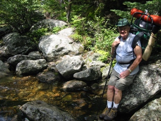
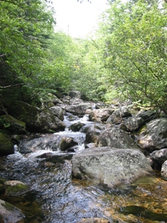
More trials and tribulations followed. The sun came out. DAB slipped and stumbled it's way down the mountain. A U.S. Forest Service Ranger (who was practically running up the trail) stopped to chat and then chastised DAB for not spending the night more than 200 feet from the trail. An lone older woman (sixties-ish) with trekking poles passed DAB on the way up the mountain. DAB later learned from John Weber that this woman was also completing her last four thousand footer.
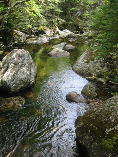
But the narrative is getting ahead of itself. Trials and tribulations abounded, but DAB overcame them, slowly, on the way down the mountain. They came to hate the way the trail was often a wet, muddy stream with a path of narrow rocks to step along. They began to groan and mumble every time it came to put on the backpacks for the next surge. They planned on how they were going to get back to the car.
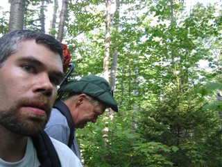
Wife-of-Bill Jr. leaped into internet action, frantically looking for information on taxis in Conway and North Conway. Meanwhile, DAB plodded their slow way down the last 1,600 feet (in 1.8 miles) toward the trailhead. Thankfully, the trail was not as rocky and disjointed as it had been in the upper reaches, which was a good thing because DAB's legs were tiring and slips were becoming common.
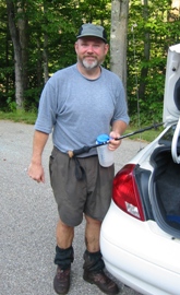
John stopped briefly to chat with Bill Jr. who fastened onto him like a starving limpet and asked, nay, begged him to give DAB a ride around the ridge to their car. Conveniently, John lived in New Ipswich NH, which meant he was going most of the way DAB's way anyway!
John Weber is an independent software consultant. See his site here! http://www.mv.com/ipusers/bigtime/bts.html
Journey Home
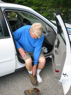 DAB piled into John's car with sweaty clothes and smelly feet, and were transported the 25 miles around the ridge to their patiently waiting Chevy Classic (white). Off went the boots and on went the sneakers. The drive back to the hotel in Manchester was blissfully uneventful except for aching backs and the news that the person meeting DAB for dinner was canceling because her hot water heater had been busy filling her basement with water and needed some looking-after. Upon checking into the Ramada (again) Bill Jr. was happy to discover that his battery charger and battery were indeed at the front desk as promised.
Dinner was at the Ramada-attached Hooters, as elegant an experience as only Hooters can come up with. Sleep was un-interrupted by cold-calling prostitutes, although it must be noted that the hotel clientele seemed much more family-oriented on the weekend than during the week.
Sunday's trip home was uneventful, filled with the joy of seeing old friends such as Kathy Winslow, who didn't expect Bill Ruhsam Squared to show up at her home on Sunday morning with a nigh-gallon of camp fuel to give her (can't take that on a plane). Steph Sisson, busy dueling with her water heater, was likewise visited during spare time before going to the airport. Old haunts in Bedford were seen to compare how time had treated them. Southwest Airlines were soundly (but silently) berated for refusing to allow Bill Jr.'s empty but fuel-smelling fuel canister to be checked on board the airplane. Bill Jr. now surmises that he will have to mail those things back and forth if he does more air-travel camping (although Steph should have that one in her possession by now). The Southwest Pilot, who really should be more mindful of his day job, treated us to two! impromptu stand-up gigs before taking off (DAB was on the same plane for both legs) and showed us just how nimbly a Boeing 737 could be flown around the sky and driven about the taxiways (he must have been a fighter pilot).
Lessons Learned
- Be more careful when matching capabilities to hikes. Much more careful.
- Bring trekking poles or a walking stick when carrying a pack. Bill Jr. would have killed (at least maimed) for one just like Dad's during the descent.
- Two gallons of water is not enough. Now that he thinks about it, Bill Jr. does recall something about a gallon per person per day, which just about fits their consumption. DAB did not keep accurate tabs, but it was about 4.5 gallons.
- Don't try to fly Southwest with a fuel canister even though I'm sure there's more fuel in a full butane lighter which you can check than the clean, used, MSR Whisperlite fuel tank.
- Check your pack at home, before going to the airport, for any problems.
- If air-traveling to a camping trip, know the location of a well-equipped camp store. Thankfully, DAB used to live in Manchester and knew their way around.
